Our approach
Curated, not comprehensive.
This is a growing selection, not a complete directory or booking service. A place appearing here does not guarantee that it is open, accessible or safe to visit today.
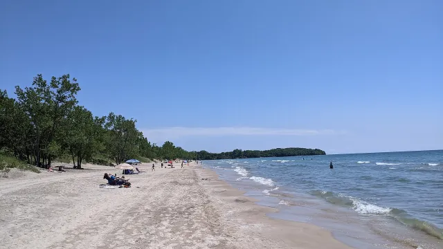
Five lakes. Two countries. One shared coast.
The Northern Coasts is an independent field guide to the Great Lakes and the people, landscapes and places along their shores.
Why we made this
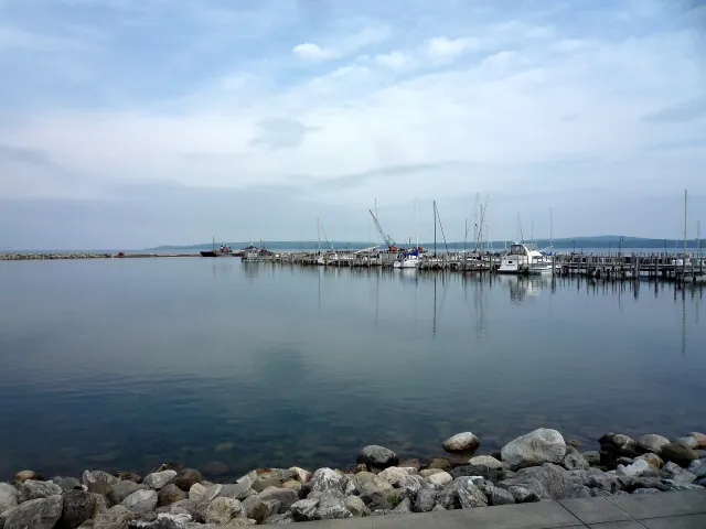
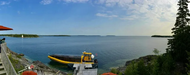
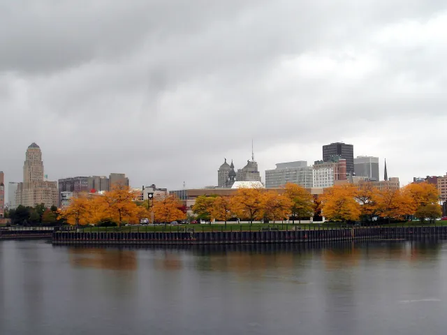
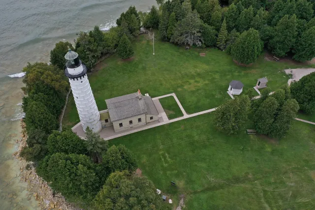
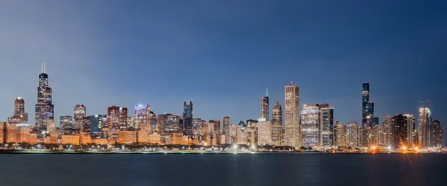
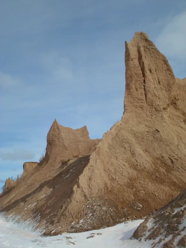
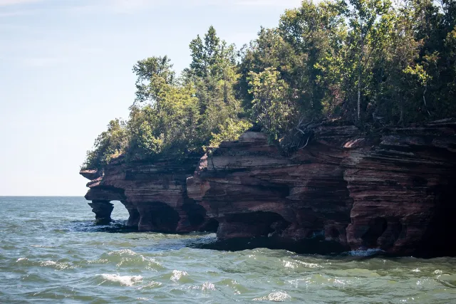
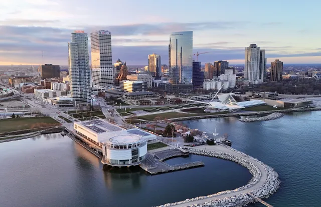
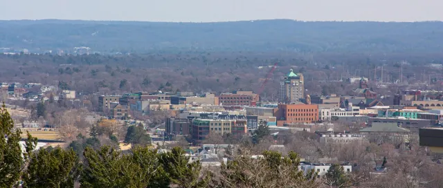
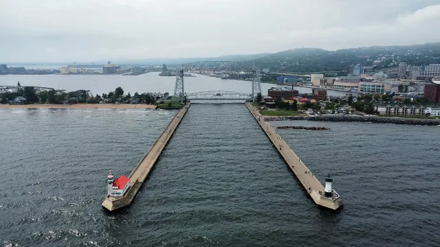
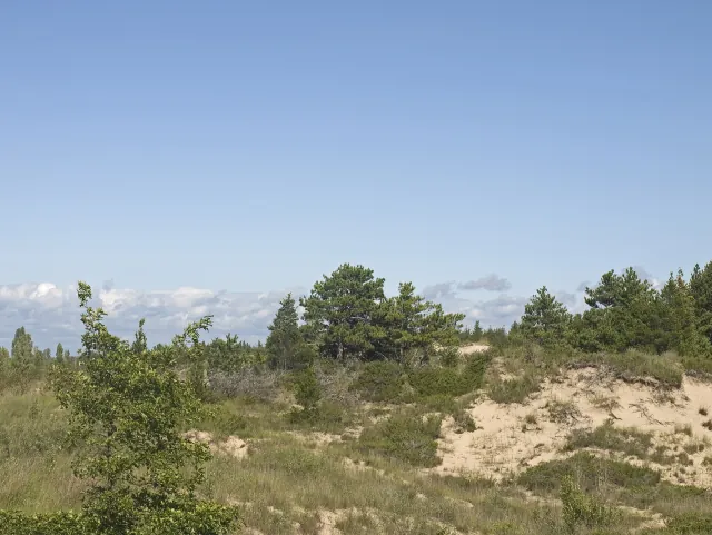
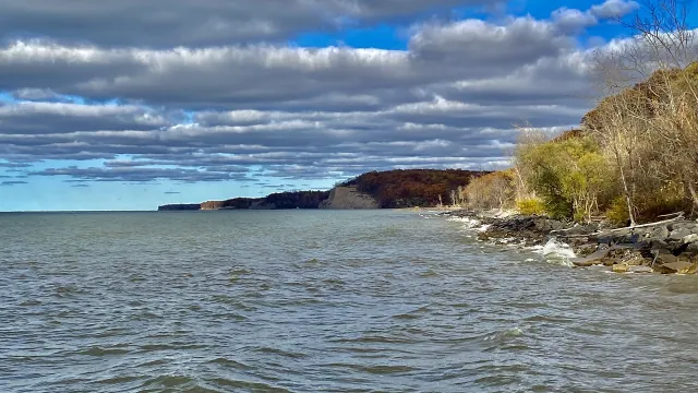
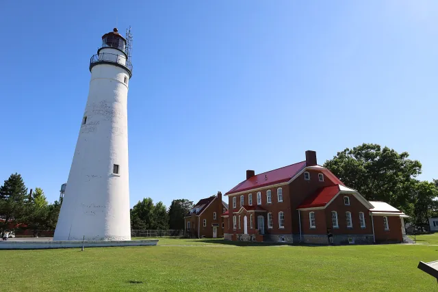
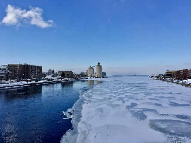
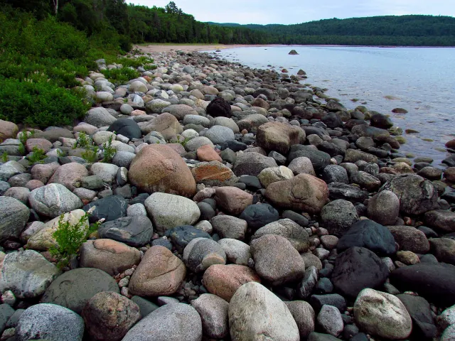
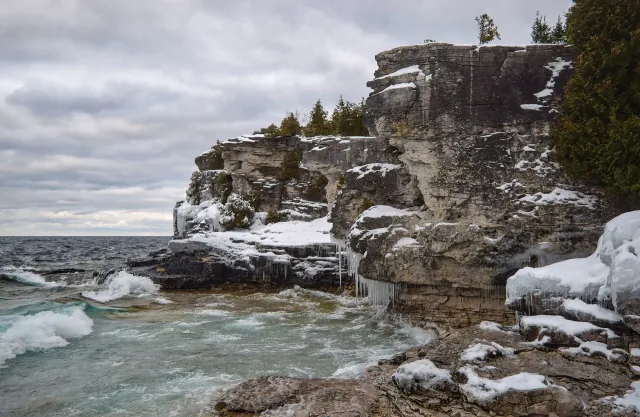
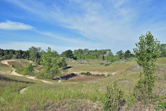
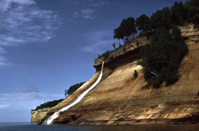
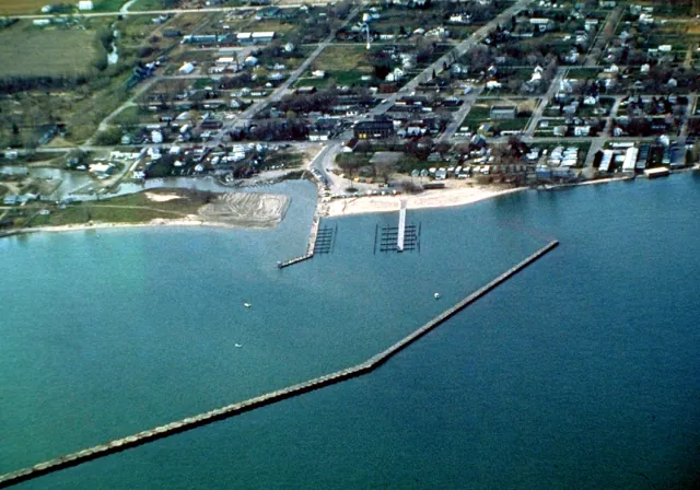
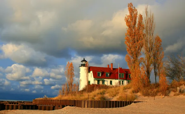
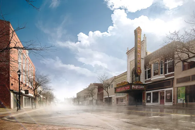
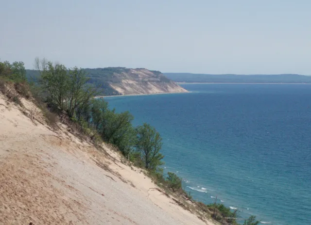
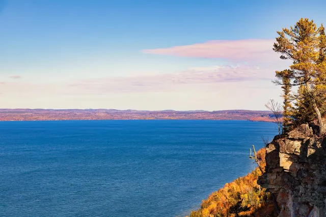
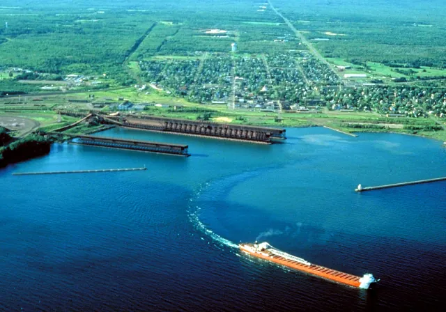
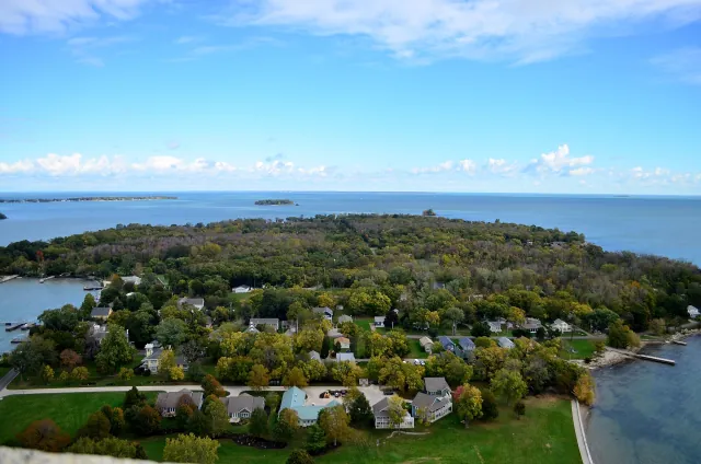
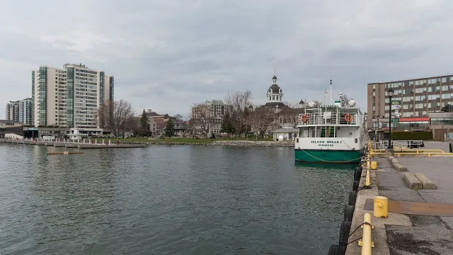
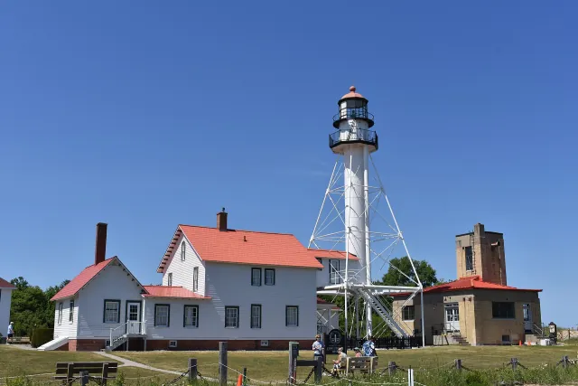
Freshwater horizons. Islands without cars. Dunes that rise above the treetops. Working harbors and cities that turn toward the water. This region deserves more than a quick stop on the way somewhere else.
We connect destination inspiration with practical starting points: representative maps, seasonal guidance, suggested routes and official information. Explore slowly. Support local businesses. Leave fragile shorelines and maritime heritage as you found them.
Our approach
This is a growing selection, not a complete directory or booking service. A place appearing here does not guarantee that it is open, accessible or safe to visit today.
Our maps
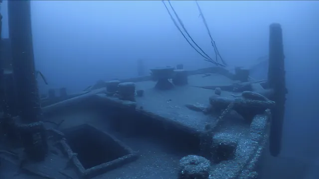
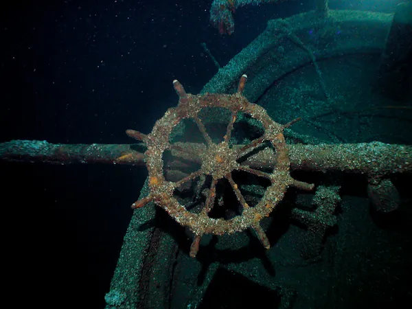
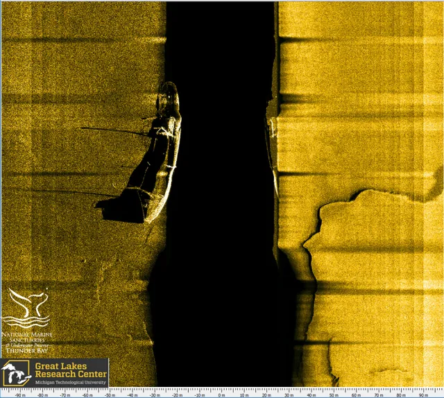
Pins represent towns and destinations, not verified entrances or navigation aids. We do not publish precise shipwreck locations. Land tiles come from OpenStreetMap, or MapTiler when configured.
Your privacy
No account is needed. Saved places live in your browser, not a personal profile on our server.
Read our privacy notesSources
Lake statistics use the U.S. EPA physical-features table. Numbers are rounded reference measurements, not current lake-level readings. Shoreline measurements include islands and, where the source specifies, connecting channels.
Lake outlines come from Natural Earth; supplemental town centers from GeoNames. Maps use Leaflet and OpenStreetMap contributors. Fraunces and Inter typography are self-hosted under the SIL Open Font License.
Photography
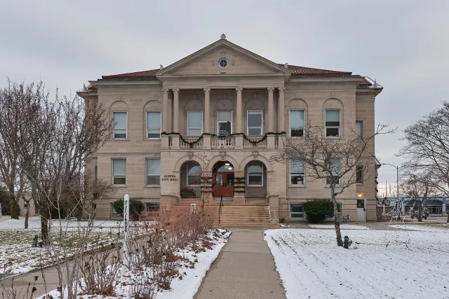
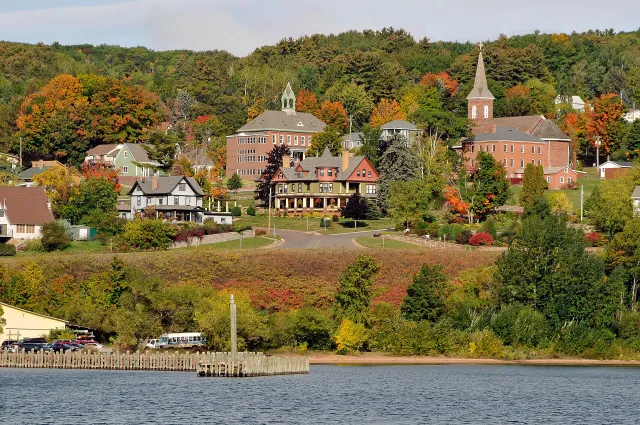
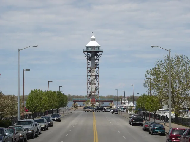
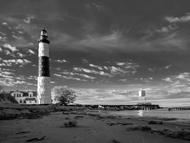
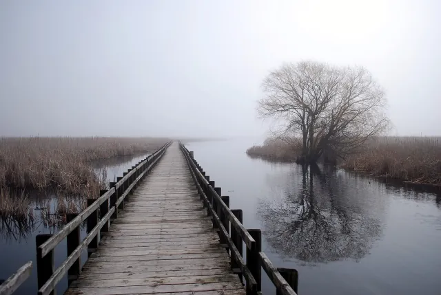
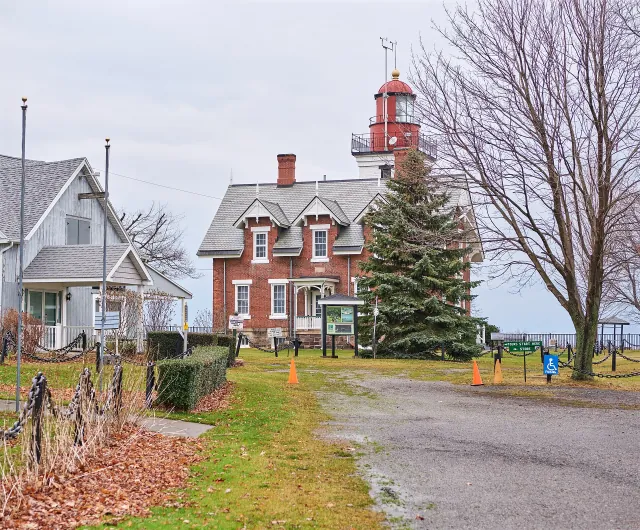
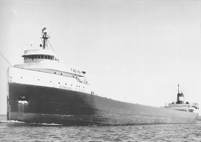
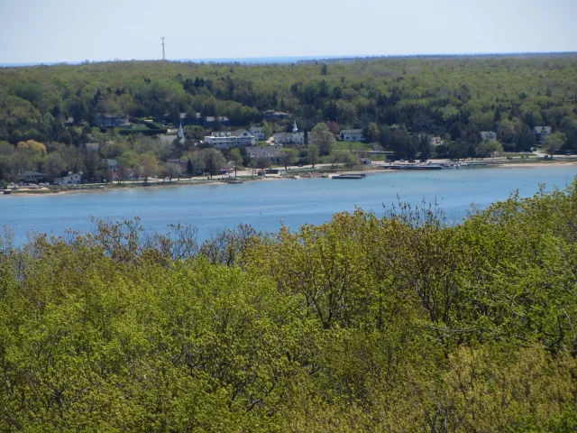
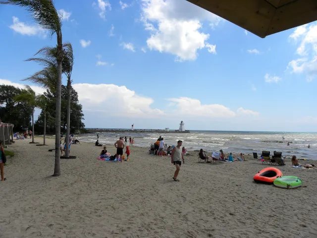
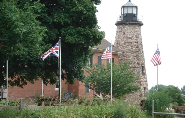
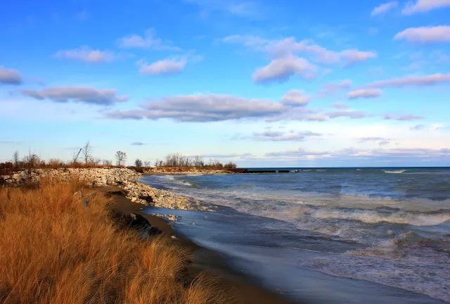
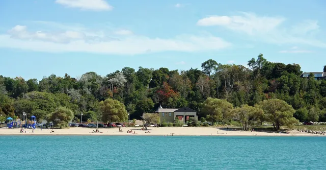
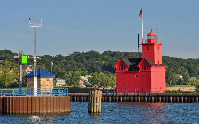
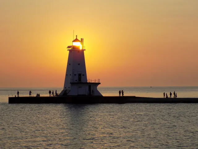
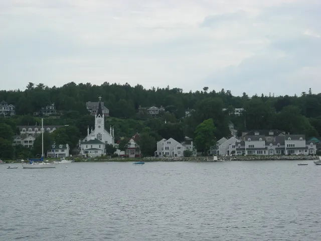
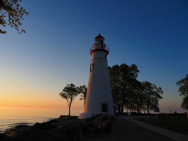
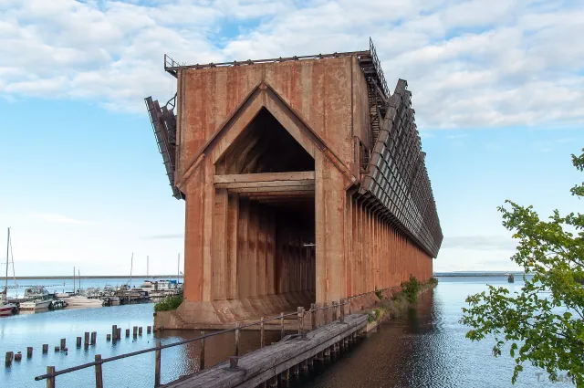
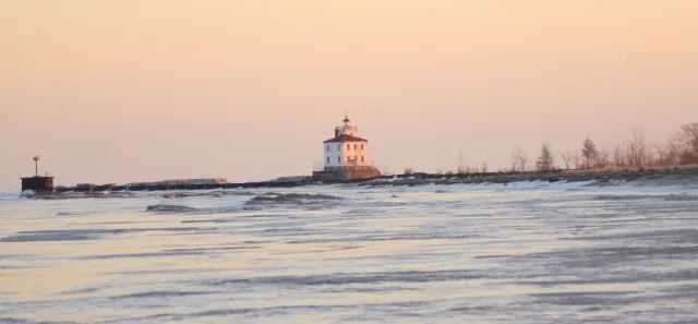
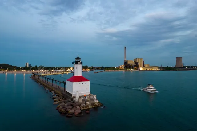
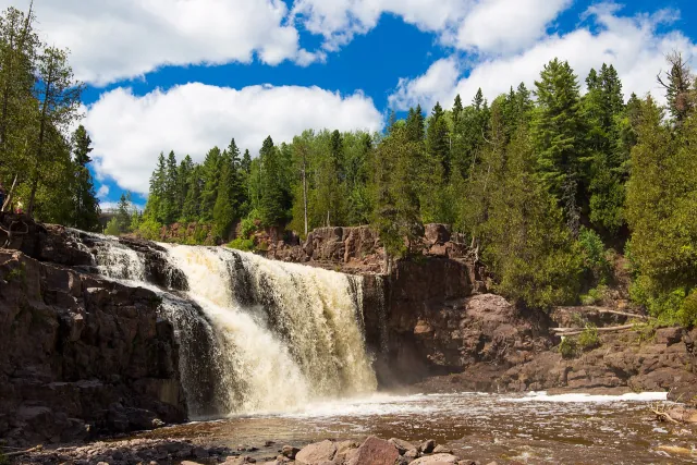
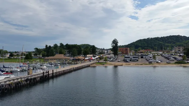
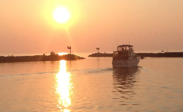
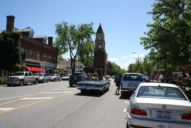
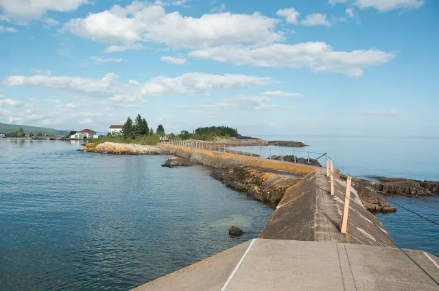
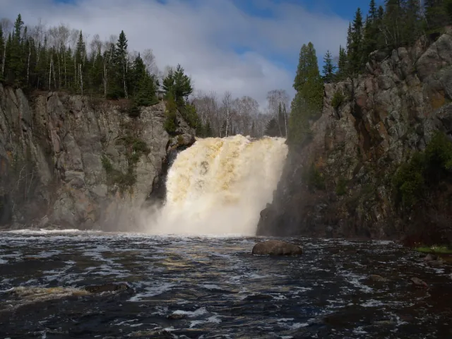
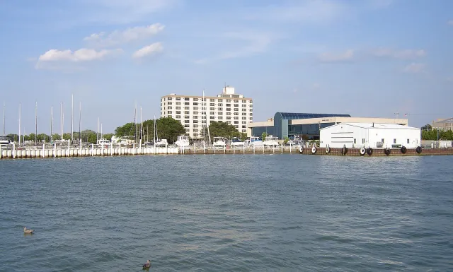
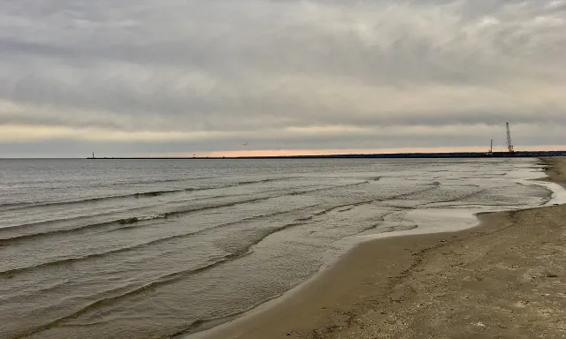
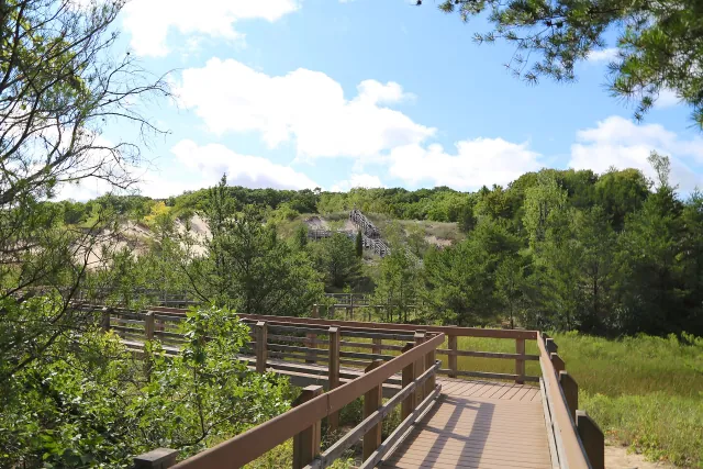
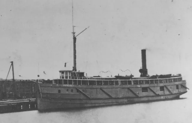
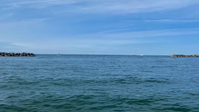
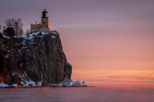
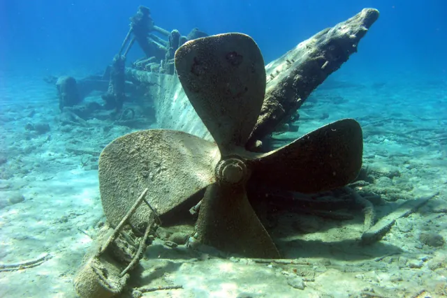
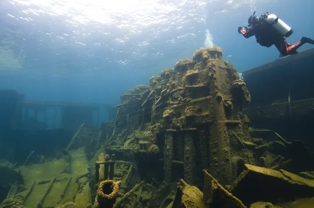
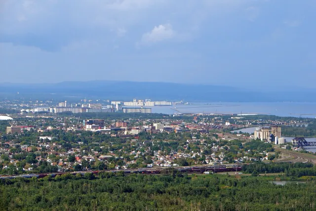
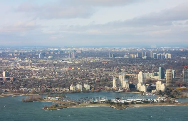
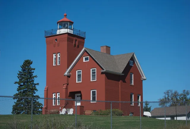
Real places, photographed by real people. Images are served locally in responsive WebP sizes. Individual licenses apply to the photographs, not to this entire website. Cropping varies by screen; source and license details remain attached to each image.