Island-hop to Put-in-Bay
Ferries reach South Bass Island's harbor village, caves and Perry's Victory memorial.
Explore this place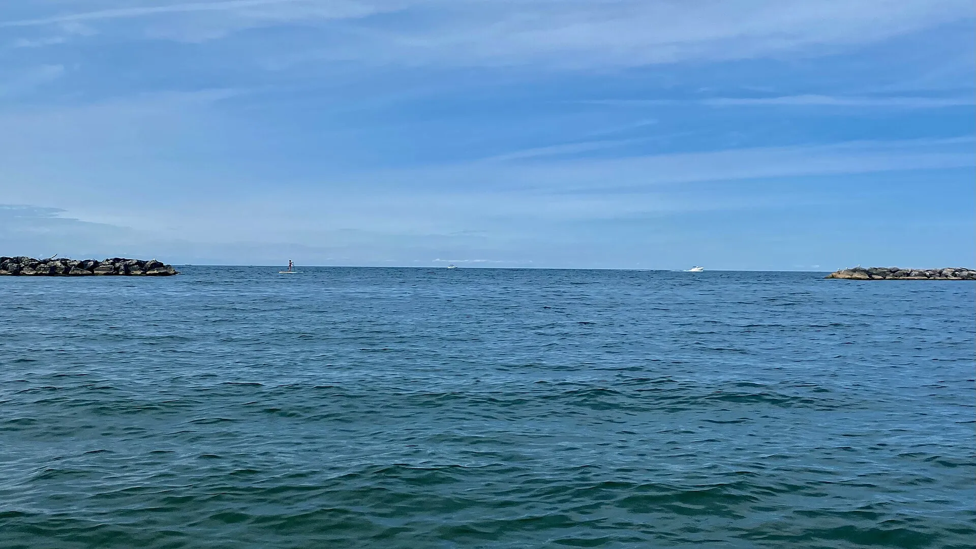
The Great Lakes · 04
Island escapes, waterfront cities and a lively southern shore.
Presque Isle State Park, Millcreek Twp, Erie County, Pennsylvania - 20210904 - 08 - Lake Erie seen from Leslie Beach.jpg by Andre Carrotflower · CC BY-SA 4.0. Resized and converted to WebP; display crops vary.
Follow the water
Erie is the most southern, shallowest and most productive of the lakes. Its western basin is dotted with summer islands, its shores lined with vineyards, beaches and bird-migration hotspots, and its cities — Cleveland, Erie and Buffalo — wear their maritime history proudly.
U.S. EPA reference measurements; rounded, not current water levels.
Live · Lake Erie
Weather, alerts, the water, the sky and local headlines, gathered from official sources as you read.
Gathering the latest conditions…
Signature experiences
Ferries reach South Bass Island's harbor village, caves and Perry's Victory memorial.
Explore this placeWalk to the sandspit at Point Pelee and watch migrants arrive across the lake in May.
Explore this placeBeaches, lagoons and lighthouses on a peninsula curving into the lake at Erie.
Explore this placeMarblehead's limestone tower has guided sailors since 1822.
Explore this placeLakefront museums and harbor walks in one of the region's great maritime cities.
Explore this placeCanalside, grain elevators and the river where Lake Erie begins its journey to Niagara.
Explore this placeWhen to go
Mid-May is peak bird migration at Point Pelee and along the Ohio shore. July and August bring the warmest swimming water and full island ferry schedules. Late September and October are harvest season in the Lake Erie wine country of Pennsylvania and New York.
Know the water
Erie's shallow water builds steep, choppy waves quickly when the wind rises. Late-summer algal blooms can affect western-basin beaches — check local beach advisories before swimming.
Water safety & official forecastsLoading the map. The links and itinerary below are always available.
4 of 11 places mapped. 7 remain in the list without a map pin. Unverified locations and precise shipwreck sites are not plotted. Pins are representative locations, not verified entrances.
Black-and-white basemap by OpenStreetMap. Great Lakes highlighted in color. Hold Ctrl (or Command) while scrolling to zoom. Use two fingers on touch screens.
Lake outlines: Natural Earth (public domain). Town centers: GeoNames (CC BY 4.0). Not for navigation. Selecting Live ships loads an external VesselFinder map for this area. Privacy details.Along the shore
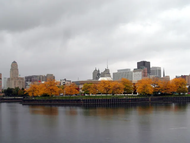 Coastal town
Buffalo
The eastern end of Lake Erie, where grain-elevator heritage meets a renewed waterfront.
Explore place
Autumnal skyline view from Erie Basin Marina, Buffalo, New York, October 2012.jpg by Reading Tom from Reading, UK · CC BY 2.0. Resized and converted to WebP; display crops vary.
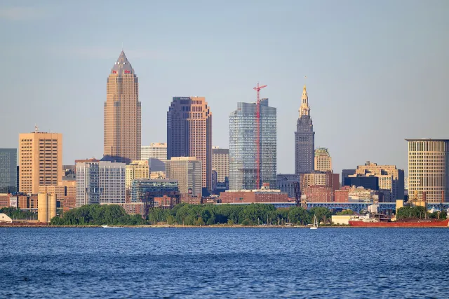 Coastal town
Cleveland
A Lake Erie city linking waterfront museums, neighborhoods and urban beaches.
Explore place
Cleveland skyline from Lakewood Park, June 2024.jpg by Erik Drost · CC BY 2.0. Resized and converted to WebP; display crops vary.
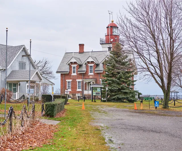 Lighthouse
Dunkirk Lighthouse
A New York Lake Erie light station with maritime and veterans' collections.
Explore place
Dunkirk Lighthouse (53861095325).jpg by Chris Rycroft from Madison, Wisconsin, United States · CC BY 2.0. Resized and converted to WebP; display crops vary.
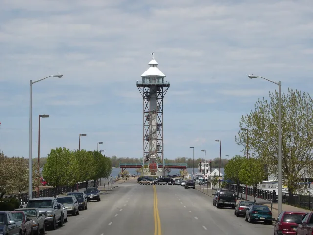 Coastal town
Erie
Pennsylvania's Great Lakes city beside Presque Isle Bay.
Explore place
Bicentennial Tower.jpg by Tomdonohue1 at English Wikipedia · Public domain. Resized and converted to WebP; display crops vary.
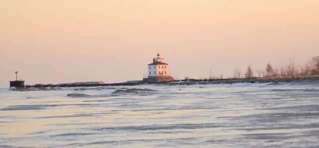 State Park
Headlands Beach State Park
A broad Ohio Lake Erie beach beside a protected dune landscape.
Explore place
Mentor Headlands Beach Sunrise (12697691344).jpg by Erik Drost · CC BY 2.0. Resized and converted to WebP; display crops vary.
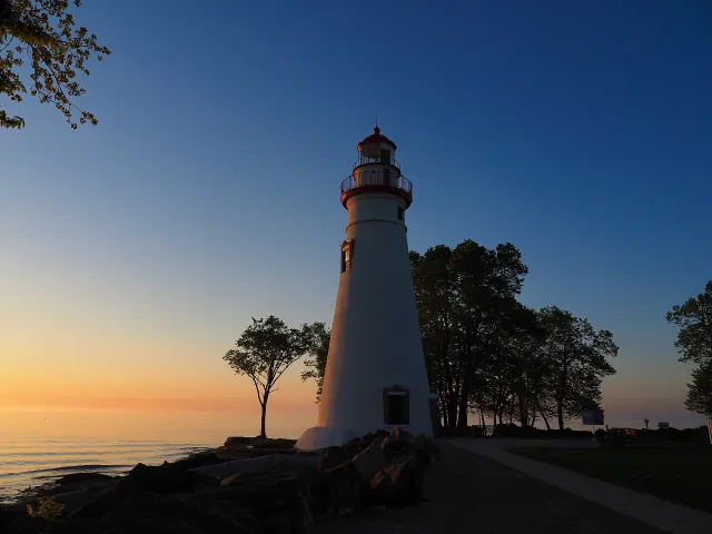 Lighthouse
Marblehead Lighthouse
A stone Lake Erie beacon on Ohio's Marblehead Peninsula.
Explore place
Marblehead Lighthouse.jpg by Bobport10 · CC BY-SA 4.0. Resized and converted to WebP; display crops vary.
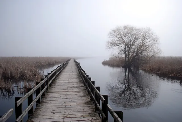 National Park
Point Pelee National Park
A Lake Erie peninsula of marsh, woodland and seasonal bird migration.
Explore place
Boardwalk in Pelee.JPG by Quozl · Public domain. Resized and converted to WebP; display crops vary.
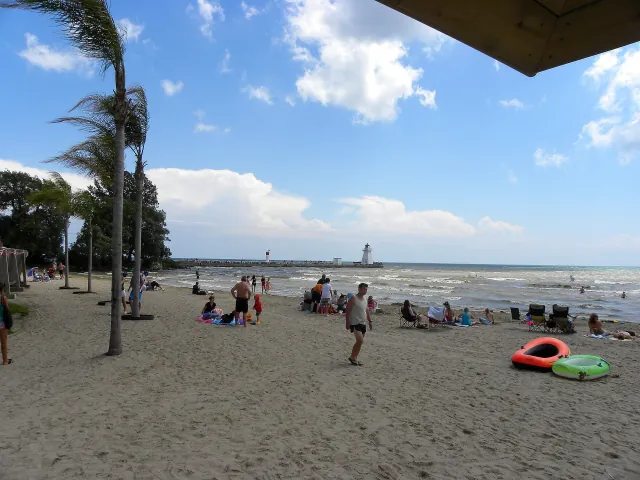 Coastal town
Port Dover
A fishing-port community on Ontario's Lake Erie coast.
Explore place
Erie Beach, Pier and lighthouse at Port Dover, Ontario -a.jpg by JasonParis from Toronto, Canada · CC BY-SA 2.0. Resized and converted to WebP; display crops vary.
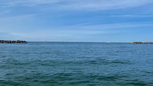 State Park
Presque Isle State Park
A sandy peninsula with beaches and lagoons beside Erie, Pennsylvania.
Explore place
Presque Isle State Park, Millcreek Twp, Erie County, Pennsylvania - 20210904 - 08 - Lake Erie seen from Leslie Beach.jpg by Andre Carrotflower · CC BY-SA 4.0. Resized and converted to WebP; display crops vary.
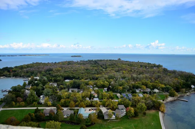 Coastal town
Put-in-Bay
South Bass Island's harbor village, with a national memorial above Lake Erie.
Explore place
View from the top of Perry's Memorial Ohio.JPG by NAHann · CC BY-SA 4.0. Resized and converted to WebP; display crops vary.
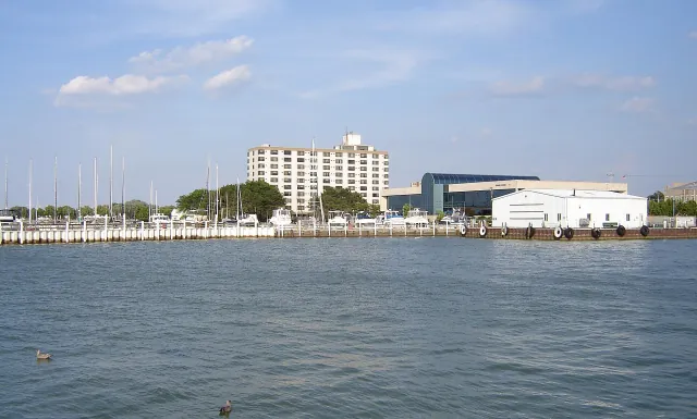 Coastal town
Sandusky
A bayside Ohio city and a jumping-off point for the Lake Erie islands.
Explore place
Ohio - Sandusky Waterfront.jpg by Mike Sharp (2old) · CC BY-SA 4.0. Resized and converted to WebP; display crops vary.
Did you know
With an average depth of just 62 feet, Erie warms fastest in summer and is often the most ice-covered lake in winter.
Erie is the smallest Great Lake by volume, so its water is replaced in less than three years.
Point Pelee is the southernmost point of mainland Canada, and a world-renowned stopover for migrating birds.
Water drops about 326 feet between Lakes Erie and Ontario — much of it over Niagara Falls, the rest through the eight locks of the Welland Canal.
Start a route with road trips on Lake Erie, or compare it with the other four lakes.