Car-free Mackinac Island
Ferries, bicycles and horse-drawn carriages set the pace on this historic island.
Explore this place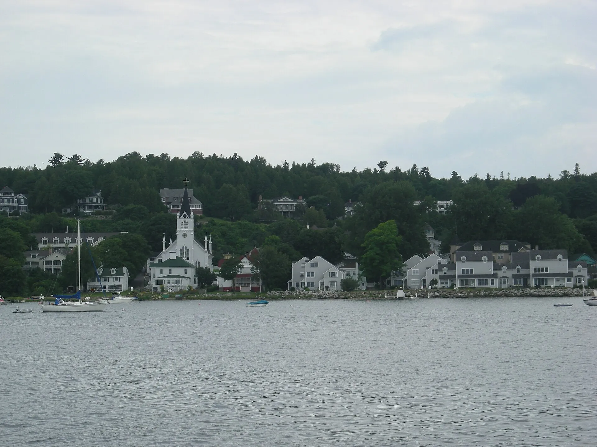
The Great Lakes · 03
Island passages, clear water and storied Georgian Bay.
Mackinac Island July 2010 02 (downtown from harbor).JPG by Michael Barera · CC BY-SA 4.0. Resized and converted to WebP; display crops vary.
Follow the water
Huron stretches from the limestone of the Bruce Peninsula to Michigan's Thumb, with Georgian Bay's granite islands, clear Caribbean-blue coves at Tobermory and car-free Mackinac Island at its northwest corner. It is the lake of ferries, islands and shipwrecks preserved in cold, clear water.
U.S. EPA reference measurements; rounded, not current water levels.
Live · Lake Huron
Weather, alerts, the water, the sky and local headlines, gathered from official sources as you read.
Gathering the latest conditions…
Signature experiences
Ferries, bicycles and horse-drawn carriages set the pace on this historic island.
Explore this placeTurquoise water, limestone caves and cliff-top trails at the tip of the Bruce Peninsula.
Explore this placeFathom Five's shallow wrecks and Flowerpot Island are the classic Tobermory day.
Explore this placeAlpena's sanctuary centre and tour boats bring Huron's preserved wrecks to the surface.
Explore this placeOak savanna, dunes and a long sand beach on Huron's southeast shore.
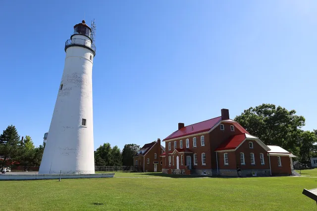
Explore this placeFort Gratiot guards the mouth of the St. Clair River at Port Huron.
Explore this placeWhen to go
July and August are best for swimming in Georgian Bay coves and on the sandy southeast shore. September brings quieter trails on the Bruce. The Chi-Cheemaun ferry and Mackinac Island services run seasonally, with reduced schedules in shoulder months.
Know the water
Cliff edges and wave-washed rock at the Grotto and along the Bruce are dangerous in rough water. In peak season, Parks Canada requires advance parking reservations at the most popular Bruce Peninsula trailheads — check before you go.
Water safety & official forecastsLoading the map. The links and itinerary below are always available.
5 of 14 places mapped. 9 remain in the list without a map pin. Unverified locations and precise shipwreck sites are not plotted. Pins are representative locations, not verified entrances.
Black-and-white basemap by OpenStreetMap. Great Lakes highlighted in color. Hold Ctrl (or Command) while scrolling to zoom. Use two fingers on touch screens.
Lake outlines: Natural Earth (public domain). Town centers: GeoNames (CC BY 4.0). Not for navigation. Selecting Live ships loads an external VesselFinder map for this area. Privacy details.Along the shore
 Coastal town
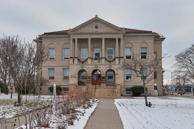
Alpena
Thunder Bay's waterfront city and a gateway to Great Lakes shipwreck history.
Explore place
Alpena City Hall (53882685763) (cropped).jpg by Chris Rycroft from Madison, Wisconsin, United States · CC BY 2.0. Resized and converted to WebP; display crops vary.
 National Park
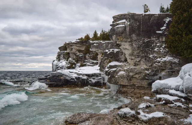
Bruce Peninsula National Park
Niagara Escarpment cliffs and Georgian Bay's blue water near Tobermory.
Explore place
Indian Head Cove cliffs1.jpg by The Cosmonaut · CC BY-SA 2.5 ca. Resized and converted to WebP; display crops vary.
 Shipwreck story
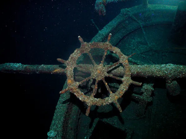
Cornelia B. Windiate
A grain schooner whose loss illustrates the hazards of late-season lake travel.
Explore place
Ship's wheel of Cornelia B. Windiate by NOAA / Thunder Bay National Marine Sanctuary · Public domain. Resized and converted to WebP; display crops vary.
 Lighthouse
Fort Gratiot Light Station
A Port Huron beacon near the outlet of Lake Huron.
Explore place
Fort Gratiot Lighthouse Park 2025e.jpg by Antony-22 · CC BY-SA 4.0. Resized and converted to WebP; display crops vary.
 Coastal town
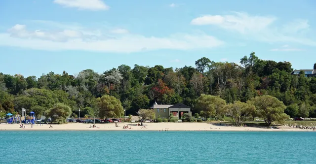
Goderich
An Ontario harbor town with a distinctive town square and sunset-facing coast.
Explore place
GoderichBeachView.jpg by Whpq · CC BY-SA 3.0. Resized and converted to WebP; display crops vary.
 Shipwreck story
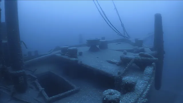
Ironton
A schooner barge lost in a Lake Huron collision and later documented by sanctuary researchers.
Explore place
Ironton wreck.jpg by NOAA · Public domain. Resized and converted to WebP; display crops vary.
 Coastal town
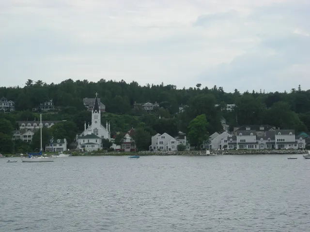
Mackinac Island
A car-free island where Lake Huron meets the Straits of Mackinac.
Explore place
Mackinac Island July 2010 02 (downtown from harbor).JPG by Michael Barera · CC BY-SA 4.0. Resized and converted to WebP; display crops vary.
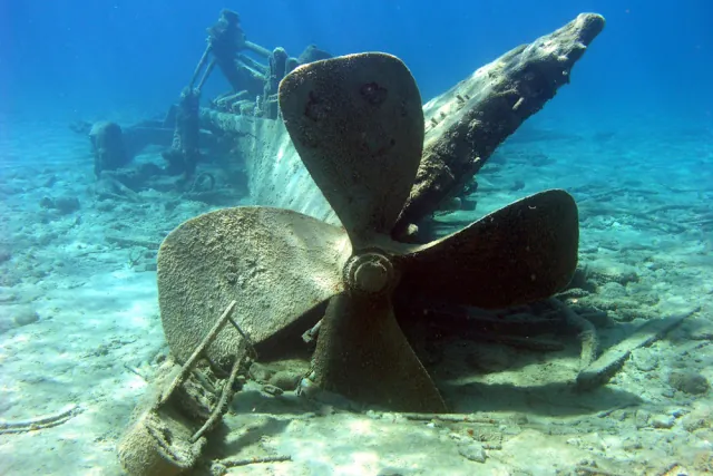 Shipwreck story
Monohansett
A steamer whose remains form part of Thunder Bay's protected maritime collection.
Explore place
Stern and propeller of Monohansett by NOAA / Thunder Bay National Marine Sanctuary · Public domain. Resized and converted to WebP; display crops vary.
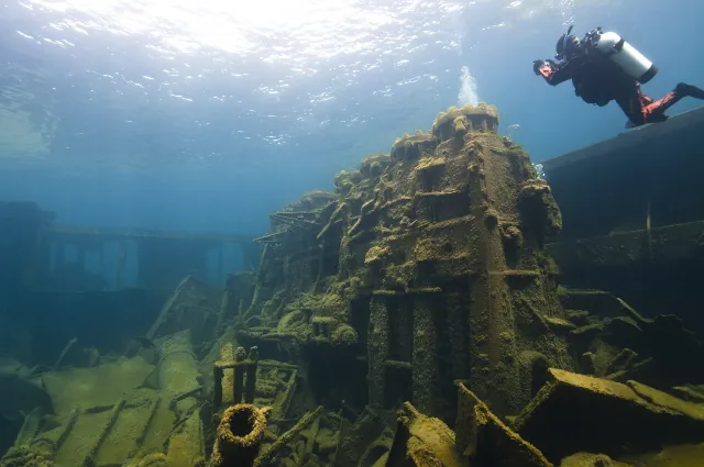 Shipwreck story
Nordmeer
A twentieth-century freighter in a sanctuary collection spanning generations of ship design.
Explore place
TBNMS - Nordmeer (27699704940).jpg by National Marine Sanctuaries · Public domain. Resized and converted to WebP; display crops vary.
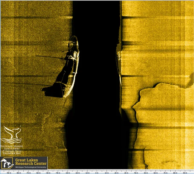 Shipwreck story
Ohio
The grain-carrying freighter involved in the same collision that sank Ironton.
Explore place
SS Ohio sonar image by Michigan Technological University / NOAA · Public domain. Resized and converted to WebP; display crops vary.
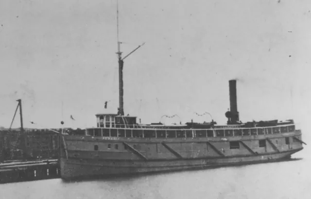 Shipwreck story
Pewabic
A Thunder Bay steamer lost in a collision during the Great Lakes shipping era.
Explore place
Pewabic.jpg by J.E. Keast · Public domain. Resized and converted to WebP; display crops vary.
 Provincial Park
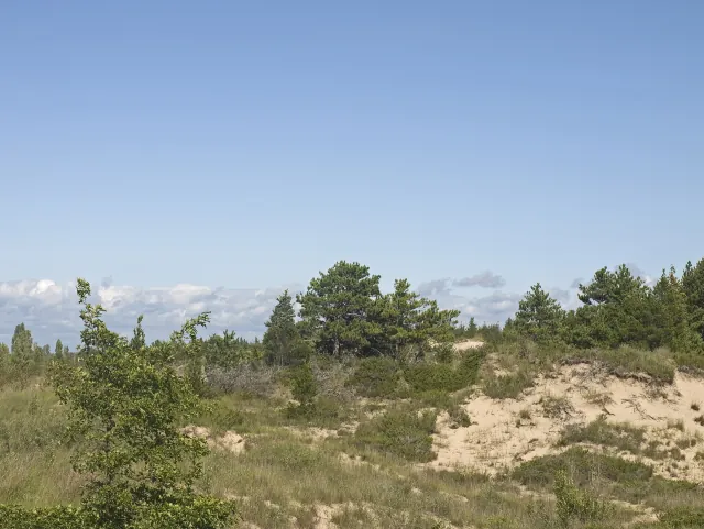
Pinery Provincial Park
Lake Huron beach country with oak savanna and a river-channel landscape.
Explore place
Dunes Beach Pinery Provincial Park.jpg by Ymblanter · CC BY-SA 4.0. Resized and converted to WebP; display crops vary.
 Coastal town
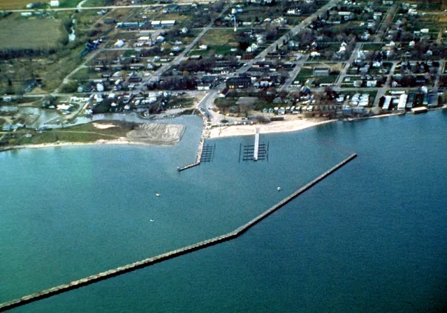
Port Austin
A small harbor at the tip of Michigan's Thumb.
Explore place
Port Austin Michigan aerial view.jpg by U.S. Army Corps of Engineers, photographer not specified or unknown · Public domain. Resized and converted to WebP; display crops vary.
 Coastal town
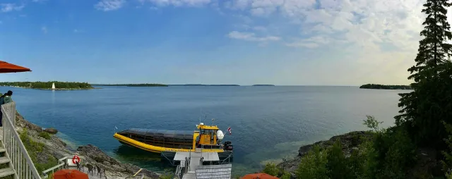
Tobermory
Bruce Peninsula harbor life between Georgian Bay and Lake Huron.
Explore place
20150704 - 010 - Tobermory, Ont. - The "Tobermory Frontier" at Big Tub Harbor (panorama).jpg by Andre Carrotflower · CC BY-SA 4.0. Resized and converted to WebP; display crops vary.
Did you know
Including its islands, Huron has the longest shoreline of any Great Lake — 3,827 miles.
Manitoulin Island is the largest island in any freshwater lake in the world.
Thunder Bay National Marine Sanctuary near Alpena protects a nationally significant collection of shipwrecks in cold, clear water.
Huron also has the largest drainage basin of the five lakes, about 51,700 square miles.
Start a route with road trips on Lake Huron, or compare it with the other four lakes.