Wine country by the river
Niagara-on-the-Lake pairs heritage streets with vineyards, theatre and the Niagara Parkway.
Explore this place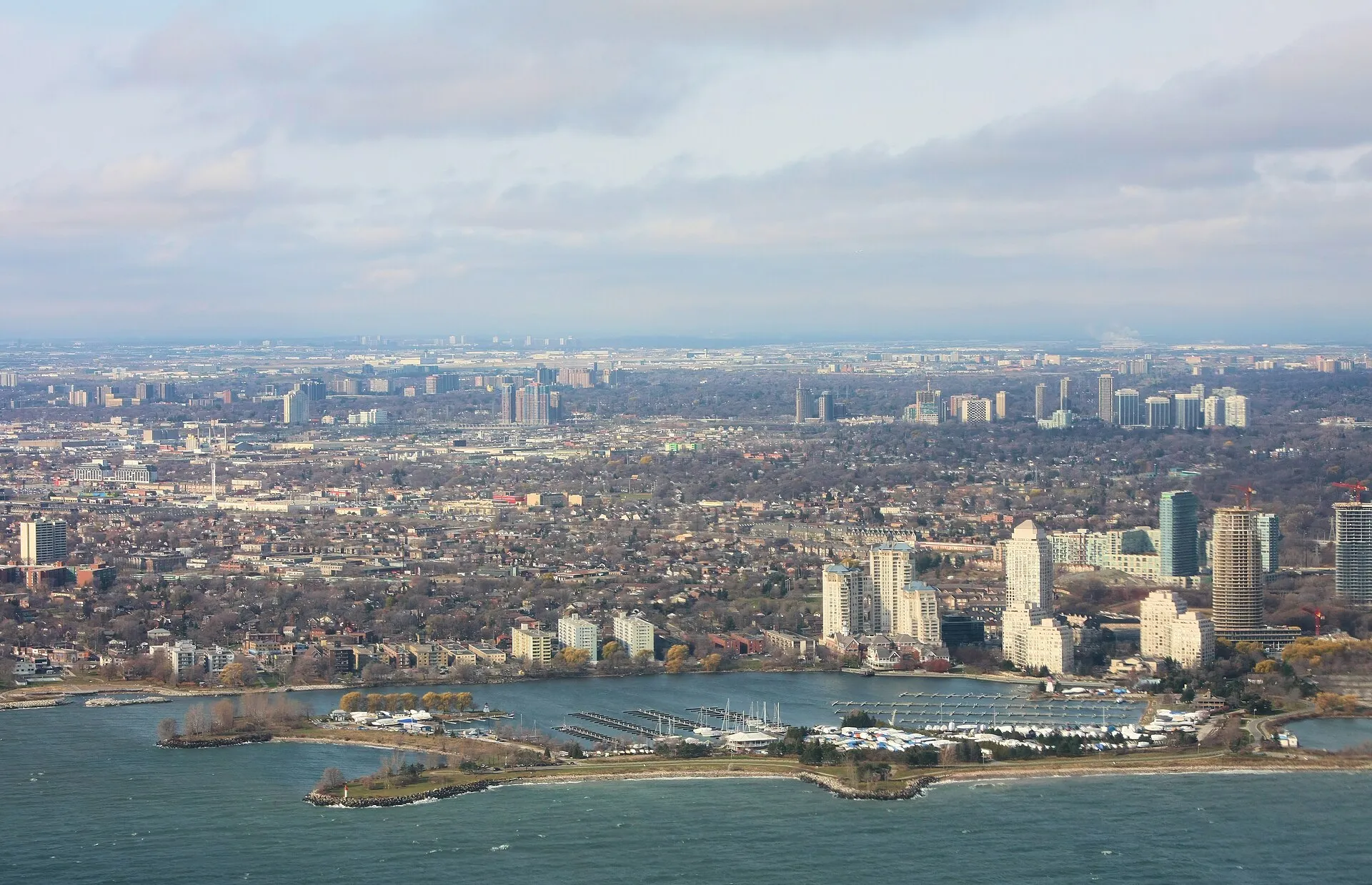
The Great Lakes · 05
Harbor towns, big-city shorelines and the gateway to the St. Lawrence.
Toronto West Humber Bay Mimico Stonegate, Lake Ontario Waterfront.jpg by ImagePerson · CC BY 4.0. Resized and converted to WebP; display crops vary.
Follow the water
Lake Ontario gathers the water of all five lakes before it flows down the St. Lawrence to the Atlantic. Its shores mix Canada's largest city with wine country, the drumlin bluffs of upstate New York and the limestone towns and sand dunes of Prince Edward County.
U.S. EPA reference measurements; rounded, not current water levels.
Live · Lake Ontario
Weather, alerts, the water, the sky and local headlines, gathered from official sources as you read.
Gathering the latest conditions…
Signature experiences
Niagara-on-the-Lake pairs heritage streets with vineyards, theatre and the Niagara Parkway.
Explore this placeSandbanks' beaches and dunes anchor a region of farm stands and wineries.
Explore this placeShort ferry rides lead to beaches, bike paths and skyline views.
Explore this placeKingston's fort, waterfront and boat tours sit where the lake meets the St. Lawrence.
Explore this placeChimney Bluffs' eroding drumlin cliffs are a striking shoreline walk in New York.
Explore this placeRochester's historic light overlooks the river mouth at Charlotte.
Explore this placeWhen to go
Summer is ideal for Toronto's waterfront and the beaches of Prince Edward County. September and October bring harvest season to Niagara and the County, along with comfortable weather for walking.
Know the water
Open shores can develop strong currents near piers and river mouths. Beach water quality is monitored through the swimming season on both sides of the lake — check local results after heavy rain.
Water safety & official forecastsLoading the map. The links and itinerary below are always available.
5 of 9 places mapped. 4 remain in the list without a map pin. Unverified locations and precise shipwreck sites are not plotted. Pins are representative locations, not verified entrances.
Black-and-white basemap by OpenStreetMap. Great Lakes highlighted in color. Hold Ctrl (or Command) while scrolling to zoom. Use two fingers on touch screens.
Lake outlines: Natural Earth (public domain). Town centers: GeoNames (CC BY 4.0). Not for navigation. Selecting Live ships loads an external VesselFinder map for this area. Privacy details.Along the shore
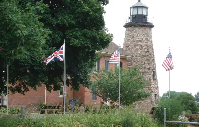 Lighthouse
Charlotte-Genesee Lighthouse
A historic tower above Rochester's Lake Ontario river mouth.
Explore place
Genesee Lighthouse with Flags.jpg by Leslie L. Gregg · CC BY-SA 4.0. Resized and converted to WebP; display crops vary.
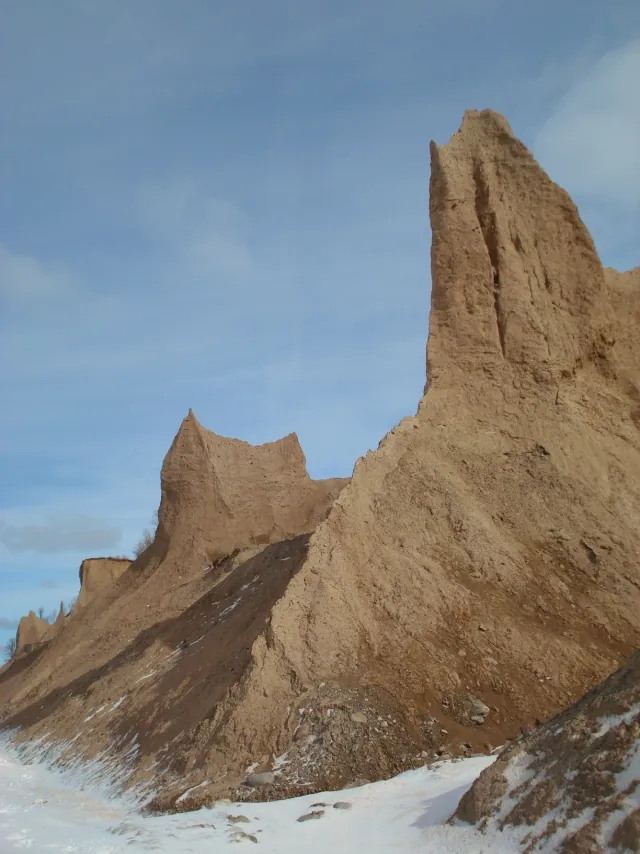 State Park
Chimney Bluffs State Park
Sculpted earthen bluffs above New York's Lake Ontario shore.
Explore place
Chimney Bluffs State Park 2009.JPG by Antepenultimate · CC BY-SA 4.0. Resized and converted to WebP; display crops vary.
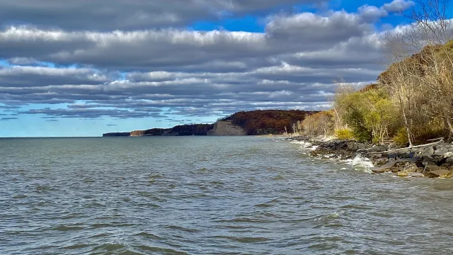 State Park
Fair Haven Beach State Park
New York's Lake Ontario beach and campground landscape beside Little Sodus Bay.
Explore place
Fair Haven Beach State Park - 20221027 - 09 - dramatic shoreline.jpg by Andre Carrotflower · CC BY-SA 4.0. Resized and converted to WebP; display crops vary.
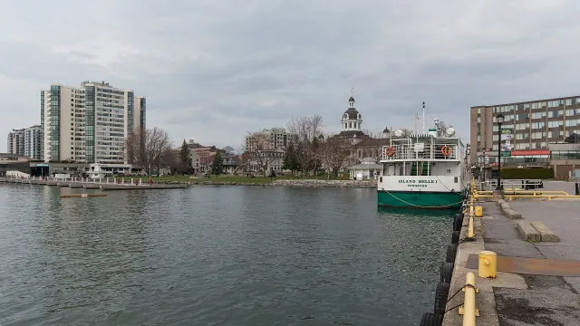 Coastal town
Kingston
A limestone waterfront city at the meeting of Lake Ontario and the St. Lawrence.
Explore place
Waterfront, Kingston, East view 20170416 1.jpg by DXR · CC BY-SA 4.0. Resized and converted to WebP; display crops vary.
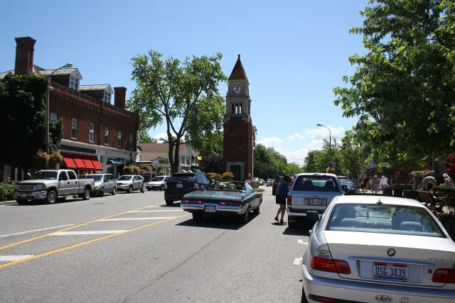 Coastal town
Niagara-on-the-Lake
A heritage town where Lake Ontario meets the Niagara River.
Explore place
Niagara on the lake.jpg by Paste · CC BY-SA 3.0. Resized and converted to WebP; display crops vary.
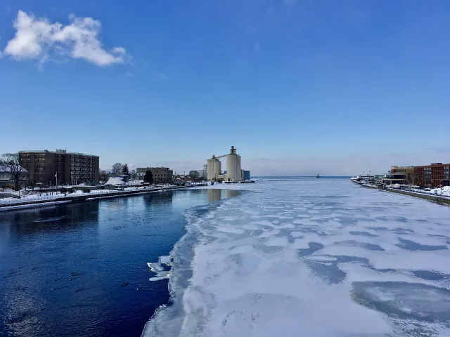 Coastal town
Oswego
A historic Lake Ontario port where the Oswego River reaches the lake.
Explore place
From the Oswego River Bridge looking toward Lake Ontario, Oswego, New York - 20210221.jpg by Andre Carrotflower · CC BY-SA 4.0. Resized and converted to WebP; display crops vary.
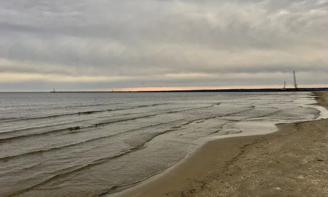 Coastal town
Rochester
A Genesee River city with a Lake Ontario shoreline at Charlotte.
Explore place
Ontario Beach Park, Rochester, New York - 20201018 - 03.jpg by Andre Carrotflower · CC BY-SA 4.0. Resized and converted to WebP; display crops vary.
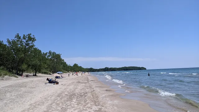 Provincial Park
Sandbanks Provincial Park
Prince Edward County's dune and beach landscape on Lake Ontario.
Explore place
Lakeshore Beach at Sandbanks Provincial Park.jpg by Maxime Laterreur · CC BY-SA 4.0. Resized and converted to WebP; display crops vary.
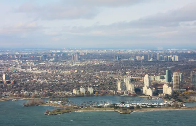 Coastal town
Toronto
Ontario's largest city, with island parks and a changing Lake Ontario waterfront.
Explore place
Toronto West Humber Bay Mimico Stonegate, Lake Ontario Waterfront.jpg by ImagePerson · CC BY 4.0. Resized and converted to WebP; display crops vary.
Did you know
Smallest by surface area, Ontario still holds about 3.4 times as much water as Lake Erie because it is so much deeper.
Its surface sits about 243 feet above sea level — the lowest of the five lakes.
The Great Lakes' principal natural outlet flows through Lake Ontario and the St. Lawrence River.
Sandbanks Provincial Park protects one of the world's largest freshwater baymouth barrier dune systems.
Start a route with road trips on Lake Ontario, or compare it with the other four lakes.