Reserve the fixed parts.
Book essential ferry crossings, campsites and popular park parking first. Leave the spaces between them flexible.
Ferry connections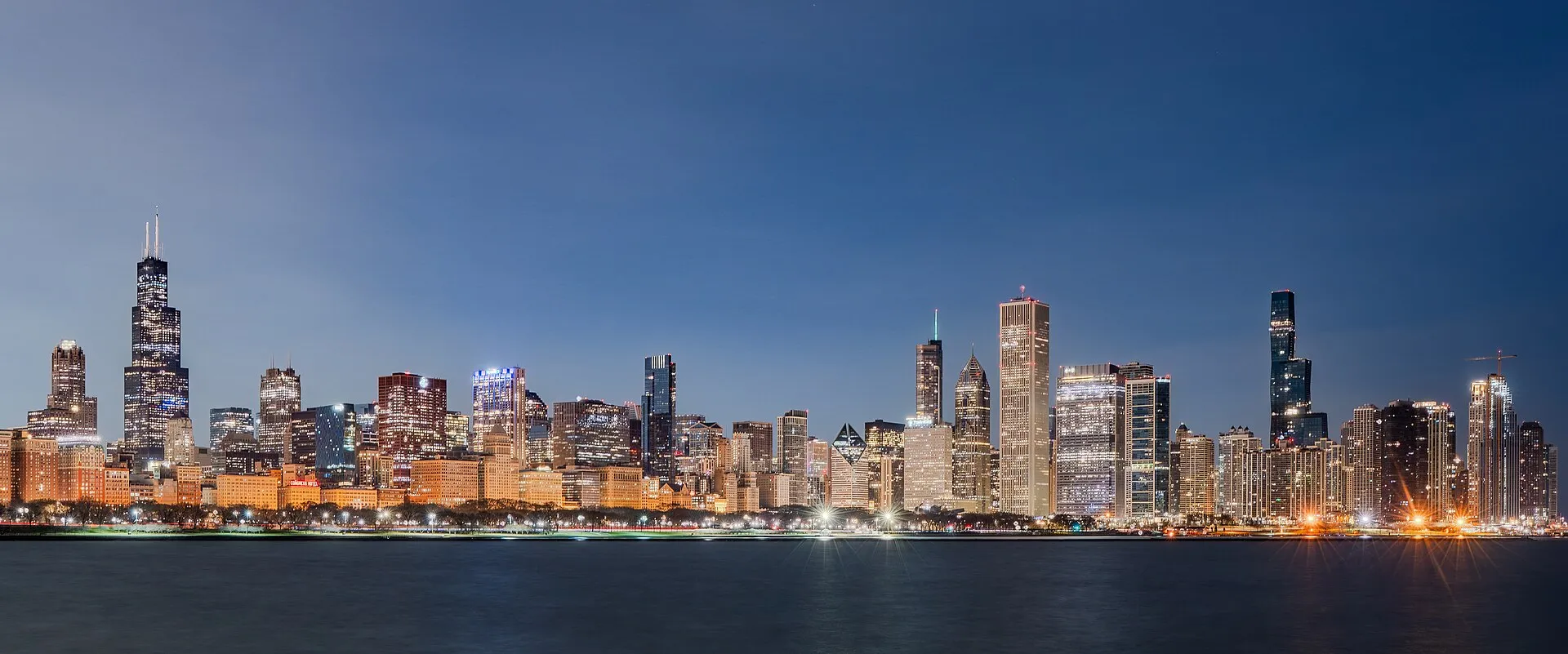
Lake Michigan · 7–10 days
Connect shoreline towns, beaches and cities around Lake Michigan.
Chicago Skyline Sunrise March 15 2026 - 02.jpg by NorbertNagel · CC BY-SA 4.0. Resized and converted to WebP; display crops vary.
Why go
Sugar-sand beaches, towering dunes, cherry country and Door County's harbors — about 1,100 miles linking Chicago, Michigan's sunset coast and Wisconsin's lighthouse shore.
A road trip through Illinois, Indiana, Michigan and Wisconsin. Route length and duration depend on side trips and pace.
Loading the map. The links and itinerary below are always available.
9 of 16 stops mapped. 7 remain in the list without a map pin. Unverified locations and precise shipwreck sites are not plotted. Pins are representative locations, not verified entrances.
Black-and-white basemap by OpenStreetMap. Great Lakes highlighted in color. Hold Ctrl (or Command) while scrolling to zoom. Use two fingers on touch screens.
Lake outlines: Natural Earth (public domain). Town centers: GeoNames (CC BY 4.0). Not for navigation. Selecting Live ships loads an external VesselFinder map for this area. Privacy details.Day by day
Walk or bike the Lakefront Trail, see the skyline from the water on an architecture cruise, then head east around the lake's southern tip.
Hike and swim at Indiana Dunes National Park, then cross into Michigan for an evening in New Buffalo.
See Holland's red pierhead light, then follow Michigan's sunset coast north to Ludington's beaches.
Walk the sandy path to Big Sable Point, then continue north to Frankfort and the Point Betsie light.
Drive the Pierce Stocking Scenic Drive, try the Dune Climb and finish at Glen Haven or a quiet Leelanau beach.
Cherries, wineries and farm stands: Old Mission and Leelanau peninsulas both make a fine afternoon drive.
Hunt for Petoskey stones, cross the five-mile Mackinac Bridge and follow US-2 west along the Upper Peninsula's Lake Michigan shore.
Bluffs and bike paths at Peninsula State Park, the Cana Island light and harbor villages on both shores, finishing in Sturgeon Bay.
Boardwalk dunes at Kohler-Andrae, a Milwaukee lakefront stop and Wind Point's tower near Racine before closing the loop.
Where to stay
Know before you go
Stop by stop
Numbered highlights in route order. Allow your own time at each stop; connecting map lines are illustrative, not roads.
Dune trails and beaches at the lake's southern tip.
Indiana · Lake MichiganScenic drive, Dune Climb and Glen Haven.
Michigan · Lake MichiganFollow US-2 across the Upper Peninsula into Door County.
Wisconsin · Lake MichiganRoute distances and conditions are approximate. Check current road, border-crossing and attraction information before travel.
On the road
Book essential ferry crossings, campsites and popular park parking first. Leave the spaces between them flexible.
Ferry connectionsKeep an inland walk, museum or harbor-town stop in mind for rough-water days. No scenic stop is worth ignoring a closure or warning.
Check official forecastsSave the stops you care about most, then add nearby places. Your list stays in this browser and is easy to revisit.
Open your shortlist