Check access before leaving.
Opening hours, parking, permits and step-free access change by season. Confirm your needs with the official destination; a map pin is not an entrance.
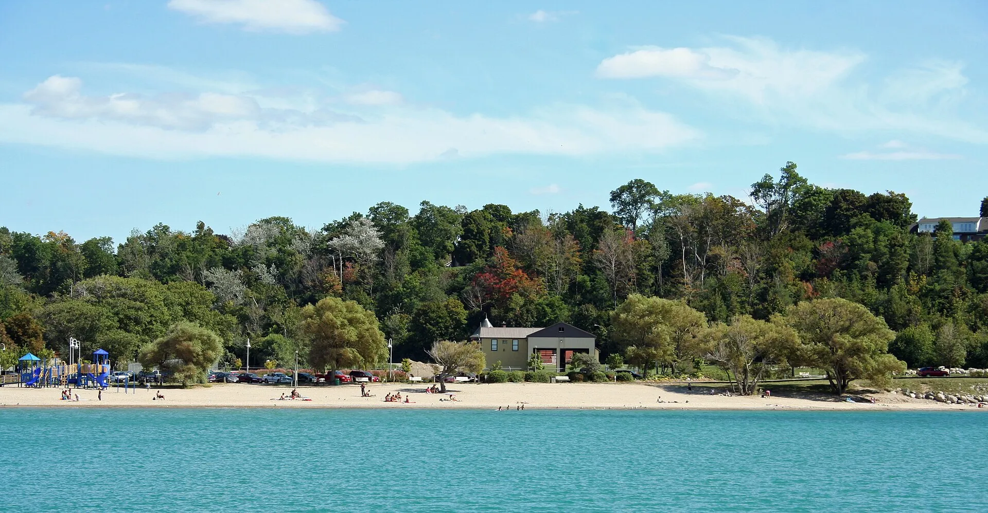
Coastal town · Lake Huron
An Ontario harbor town with a distinctive town square and sunset-facing coast.
GoderichBeachView.jpg by Whpq · CC BY-SA 3.0. Resized and converted to WebP; display crops vary.
On the coast
Goderich combines an unusual octagonal downtown layout with beaches and an active port below the bluff. Walk between civic history, waterfront rail heritage and lake views rather than rushing through on Highway 21. Ontario's Huron shore faces west, making an evening stay especially appealing when conditions cooperate.
Live · Goderich
Weather, alerts, the water, the sky and local headlines, gathered from official sources as you read.
Gathering the latest conditions…
July and August for warm beach evenings; June and September for quieter shores and comfortable walks between town and harbor.
1 day
Don't miss
Know before you go
Loading the map. The links and itinerary below are always available.
Approximate town center (GeoNames 5962442); not an attraction entrance.
Black-and-white basemap by OpenStreetMap. Great Lakes highlighted in color. Hold Ctrl (or Command) while scrolling to zoom. Use two fingers on touch screens.
Lake outlines: Natural Earth (public domain). Town centers: GeoNames (CC BY 4.0). Not for navigation. Selecting Live ships loads an external VesselFinder map for this area. Privacy details.Good to know
Travel well
Opening hours, parking, permits and step-free access change by season. Confirm your needs with the official destination; a map pin is not an entrance.
Leave room for weather delays and a quieter side trail. Stay on marked paths, respect closures and support the local communities that make the coast special.
Travel thoughtfullyWaves and water temperatures can tell a very different story. Use marine forecasts and local beach advisories before any water activity.
Official weather resourcesNearby
Approximate straight-line distance between representative pins—not driving distance, a ferry route or an access recommendation.
About 67 miles · Michigan
A small harbor at the tip of Michigan's Thumb.
Explore placeRoad trips
4-6 days
From Pinery's sand and savanna to Goderich and the Bruce Peninsula's rocky coast.
View the itinerary