Reserve the fixed parts.
Book essential ferry crossings, campsites and popular park parking first. Leave the spaces between them flexible.
Ferry connections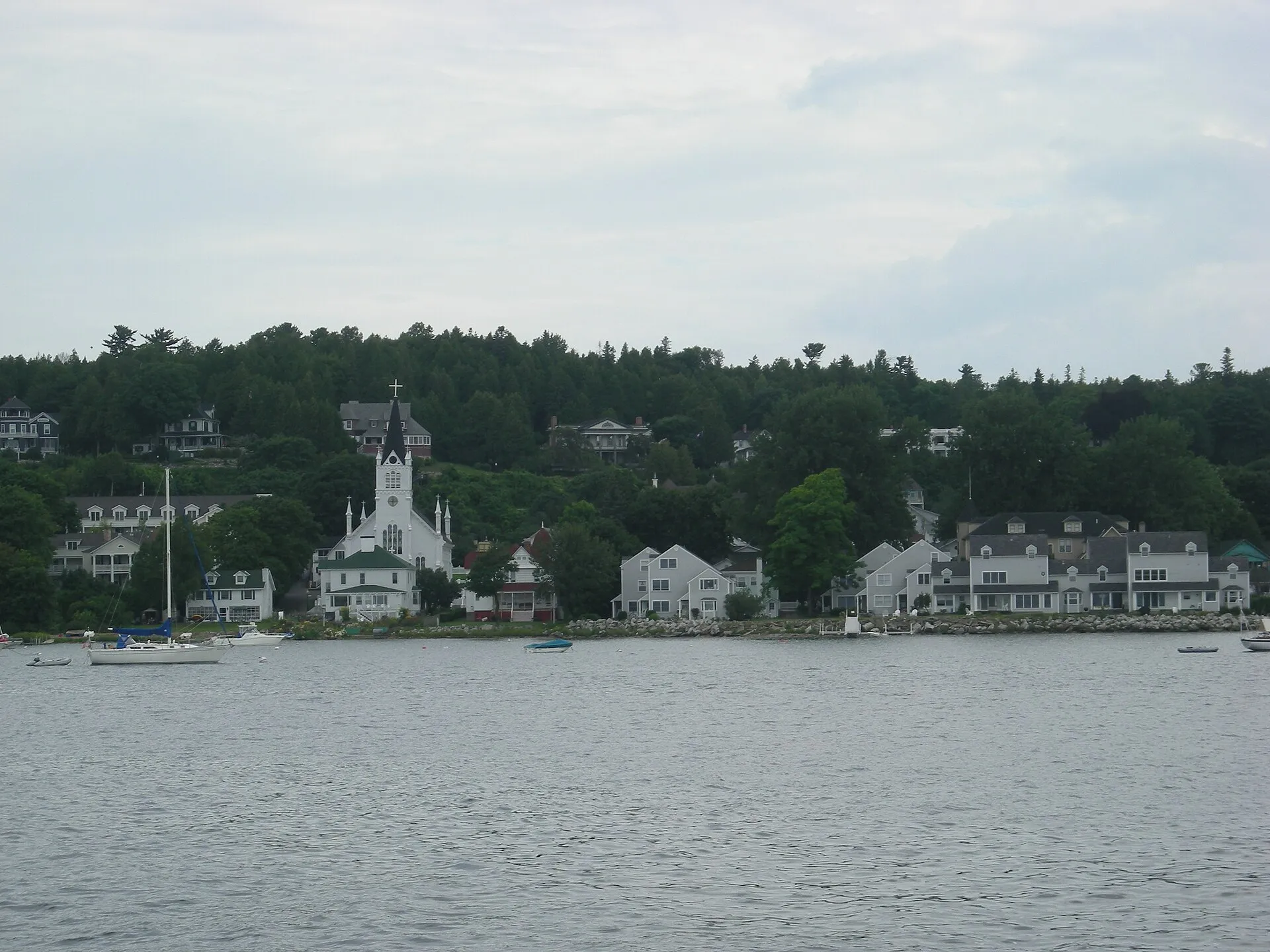
Lake Huron · 4-6 days
From Pinery's sand and savanna to Goderich and the Bruce Peninsula's rocky coast.
Mackinac Island July 2010 02 (downtown from harbor).JPG by Michael Barera · CC BY-SA 4.0. Resized and converted to WebP; display crops vary.
Why go
Ontario's Lake Huron coast runs from sunset beaches and oak savanna to the turquoise coves and limestone cliffs of the Bruce Peninsula — some of the clearest water in the Great Lakes.
Follow Ontario's Lake Huron side north from Pinery through Goderich toward Tobermory. The landscape changes from beaches to limestone and Georgian Bay cliffs. Book popular park access ahead and leave a spare day rather than committing to a fixed ferry or boat schedule.
Loading the map. The links and itinerary below are always available.
2 of 4 stops mapped. 2 remain in the list without a map pin. Unverified locations and precise shipwreck sites are not plotted. Pins are representative locations, not verified entrances.
Black-and-white basemap by OpenStreetMap. Great Lakes highlighted in color. Hold Ctrl (or Command) while scrolling to zoom. Use two fingers on touch screens.
Lake outlines: Natural Earth (public domain). Town centers: GeoNames (CC BY 4.0). Not for navigation. Selecting Live ships loads an external VesselFinder map for this area. Privacy details.Day by day
Swim the long sandy beach, walk a dune trail and stay for a Lake Huron sunset.
Walk the octagonal town square, then watch the sun go down from the harbor and the lighthouse bluff.
Drive north to Tobermory's harbors for a glass-bottom boat over shipwrecks or a trip out to Flowerpot Island.
Hike to the Grotto and Indian Head Cove, then walk a section of the Bruce Trail along the escarpment.
Take the Chi-Cheemaun across to Manitoulin Island for a slower day on the world's largest freshwater island.
Where to stay
Know before you go
Stop by stop
Numbered highlights in route order. Allow your own time at each stop; connecting map lines are illustrative, not roads.
Lake Huron beach country with oak savanna and a river-channel landscape.
Ontario · Lake HuronAn Ontario harbor town with a distinctive town square and sunset-facing coast.
Ontario · Lake HuronNiagara Escarpment cliffs and Georgian Bay's blue water near Tobermory.
Ontario · Lake HuronRoute distances and conditions are approximate. Check current road, border-crossing and attraction information before travel.
On the road
Book essential ferry crossings, campsites and popular park parking first. Leave the spaces between them flexible.
Ferry connectionsKeep an inland walk, museum or harbor-town stop in mind for rough-water days. No scenic stop is worth ignoring a closure or warning.
Check official forecastsSave the stops you care about most, then add nearby places. Your list stays in this browser and is easy to revisit.
Open your shortlist