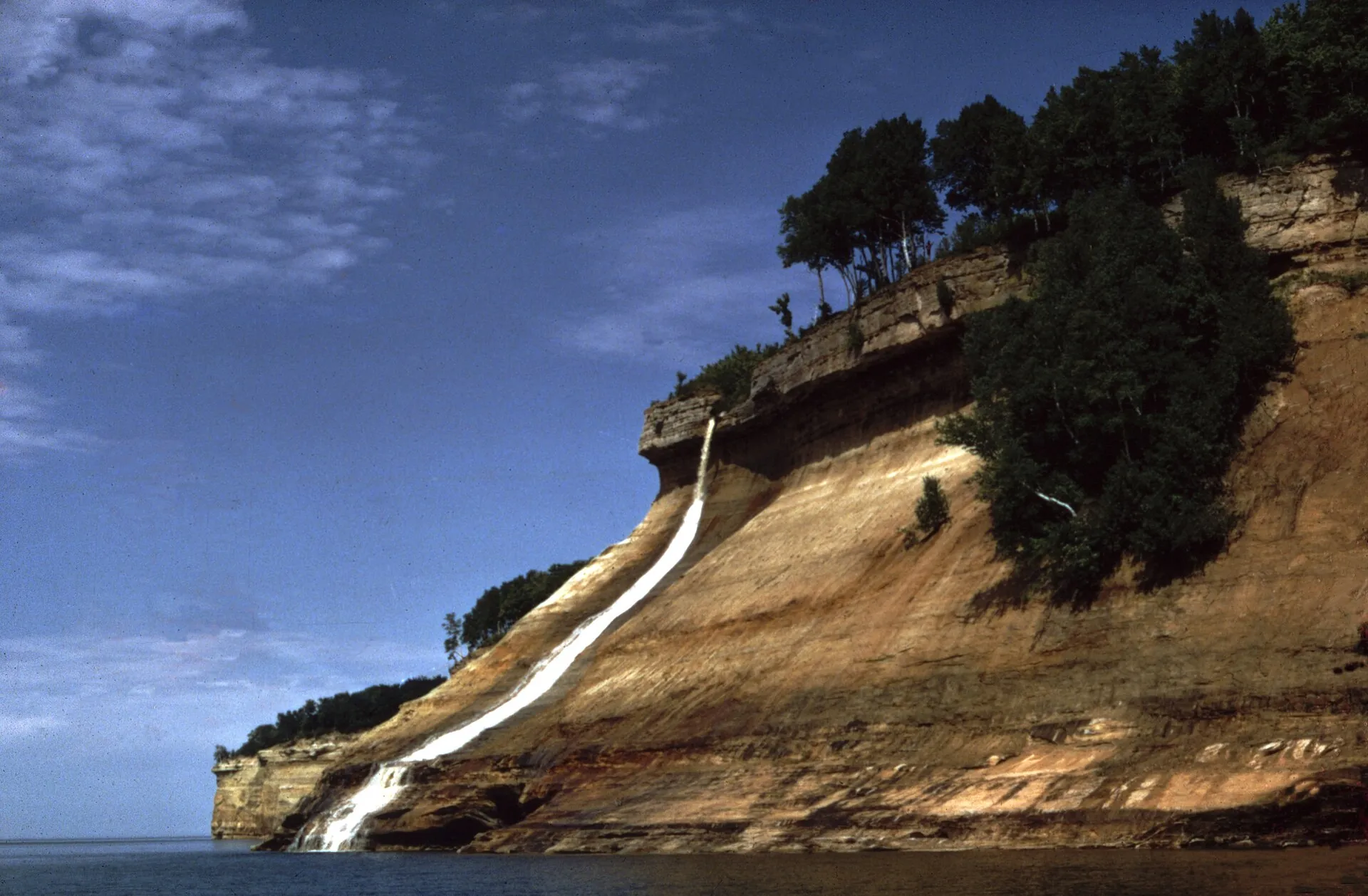
Bridalveil Falls and sandstone cliffs at Pictured Rocks National Lakeshore.

National Lakeshore · Lake Superior

Pictured Rocks National Lakeshore

Sandstone cliffs, beaches and waterfalls along Michigan's Upper Peninsula.

Photo: National Park Service · Public domain

Pictured Rocks Bridalveil Falls.jpg by National Park Service · Public domain. Resized and converted to WebP; display crops vary.

Official website Plan a trip around it

On the coast

About Pictured Rocks National Lakeshore

Pictured Rocks connects colorful cliff scenery with forest trails, dunes and maritime sites. Land-based viewpoints and waterfalls offer a rewarding visit without needing to go out on the lake. Permitted boat tours and camping are separate planning decisions, with weather, reservations and park alerts shaping what is possible.

LakeLake Superior
RegionMichigan
Park typeNational Lakeshore
BeachYes
CampingYes

Live · Pictured Rocks National Lakeshore

What's going on right now.

Weather, alerts, the water, the sky and local headlines, gathered from official sources as you read.

Gathering the latest conditions…

Visiting Pictured Rocks National Lakeshore

Best time

July to mid-September for warm hiking and calmer water; early October for hardwood color above the cliffs.

Time needed

1–2 days

Best months
January: off-season February: off-season March: off-season April: off-season May: off-season June: best July: best August: best September: best October: best November: off-season December: off-season

Don't miss

Highlights of Pictured Rocks National Lakeshore.

  • Walk the paved path to the Miners Castle overlooks for close views of the sandstone formation and the clear water below.
  • Hike from the Chapel trailhead past Chapel Falls to Chapel Rock, where a lone white pine's roots reach across to the mainland.
  • Stand at the Log Slide Overlook, where the Grand Sable Dunes plunge steeply to Lake Superior.
  • Walk from Hurricane River to the Au Sable Light Station, passing shipwreck remains on the beach when sand levels expose them.

Know before you go

Tips for visiting Pictured Rocks National Lakeshore.

  • Admire the Log Slide from the deck — descending the dune is strongly discouraged, and the climb back up is exhausting.
  • Paddle beneath the cliffs only with open-water experience or a guide; Lake Superior's waves build fast and the water stays frigid.
  • Campsites typically book well ahead for summer, and the Miners Castle and Chapel lots fill early on busy days.

Get your bearings

On the shoreline.

Loading the map. The links and itinerary below are always available.

No verified point location is available. This is a lake overview, not this place's exact position. Precise shipwreck sites are not plotted.

Black-and-white basemap by OpenStreetMap. Great Lakes highlighted in color. Hold Ctrl (or Command) while scrolling to zoom. Use two fingers on touch screens.

Lake outlines: Natural Earth (public domain). Town centers: GeoNames (CC BY 4.0). Not for navigation.

Good to know

Questions about Pictured Rocks National Lakeshore

Where is Pictured Rocks National Lakeshore?
Pictured Rocks National Lakeshore is on the Lake Superior shore of Michigan.
When is the best time to visit Pictured Rocks National Lakeshore?
July to mid-September for warm hiking and calmer water; early October for hardwood color above the cliffs.
How much time do you need at Pictured Rocks National Lakeshore?
Allow 1–2 days to explore Pictured Rocks National Lakeshore.
Does Pictured Rocks National Lakeshore have a beach?
Yes. Pictured Rocks National Lakeshore has a Lake Superior beach. Check local beach advisories and swim conditions before going in the water.
Can you camp at Pictured Rocks National Lakeshore?
Yes. Pictured Rocks National Lakeshore offers camping. Summer sites can book up early, so reserve through the official park system.

Travel well

Make it a good visit.

Check access before leaving.

Opening hours, parking, permits and step-free access change by season. Confirm your needs with the official destination; a map pin is not an entrance.
Give the shoreline time.

Leave room for weather delays and a quieter side trail. Stay on marked paths, respect closures and support the local communities that make the coast special.

Travel thoughtfully

Look beyond the air forecast.

Waves and water temperatures can tell a very different story. Use marine forecasts and local beach advisories before any water activity.

Official weather resources

Road trips

Put this place on a longer route.

10–14 days

Lake Superior Circle Tour

A cross-border road trip around the world's largest freshwater lake by surface area.

View the itinerary

3-5 days

Upper Peninsula Superior Coast

Marquette, Munising and Pictured Rocks with time for maritime history.

View the itinerary