Reserve the fixed parts.
Book essential ferry crossings, campsites and popular park parking first. Leave the spaces between them flexible.
Ferry connections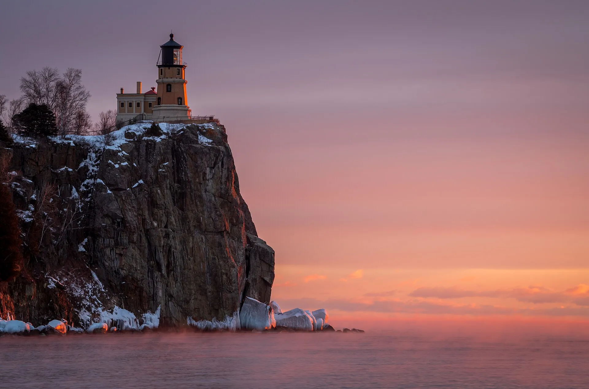
Lake Superior · 10–14 days
A cross-border road trip around the world's largest freshwater lake by surface area.
Split Rock Light Station.jpg by MichaelDPhotos · CC BY-SA 4.0. Resized and converted to WebP; display crops vary.
Why go
The grand tour of the inland seas: about 1,300 miles of cliffs, harbor towns, waterfalls and shipwreck coast through Minnesota, Ontario, Michigan and Wisconsin. It rewards travelers who love long views, cool summer air and plenty of space between stops.
Plan a multi-day route through Minnesota, Wisconsin, Michigan and Ontario. Border-crossing requirements and road conditions vary; check current official guidance before travel.
Loading the map. The links and itinerary below are always available.
9 of 13 stops mapped. 4 remain in the list without a map pin. Unverified locations and precise shipwreck sites are not plotted. Pins are representative locations, not verified entrances.
Black-and-white basemap by OpenStreetMap. Great Lakes highlighted in color. Hold Ctrl (or Command) while scrolling to zoom. Use two fingers on touch screens.
Lake outlines: Natural Earth (public domain). Town centers: GeoNames (CC BY 4.0). Not for navigation. Selecting Live ships loads an external VesselFinder map for this area. Privacy details.Day by day
Watch a freighter pass beneath the Aerial Lift Bridge, then follow Highway 61 northeast to Two Harbors' ore docks and Split Rock Lighthouse on its cliff.
Choose a riverside walk at Gooseberry Falls or Tettegouche, then settle into Grand Marais for the harbor, Artist's Point and an unhurried evening.
Cross at Pigeon River with accepted travel documents for everyone in the vehicle. Base in Thunder Bay and give a full day to the Sleeping Giant's trails and lookouts.
The longest, emptiest stretch of the loop: Nipigon, Rossport and Terrace Bay give way to Wawa and Lake Superior Provincial Park, where the Agawa Rock pictographs sit at the water's edge.
Cross the International Bridge to Sault Ste. Marie, Michigan, watch ships in the Soo Locks, then drive out to Whitefish Point and the Great Lakes Shipwreck Museum.
Enter the lakeshore at its Grand Sable Dunes end, then base in Munising for a cliffs cruise, waterfalls and the Miners Castle overlook.
A lively lakeside small city: walk Presque Isle Park at sunset, see the ore dock and wander the harbor below the lighthouse.
Add a detour to the Keweenaw Peninsula if time allows, or continue west to Bayfield for the Madeline Island ferry, orchards and an island cruise.
In calm conditions, walk or paddle with a guide to the mainland sea caves near Meyers Beach, then close the loop in Duluth.
Where to stay
Know before you go
Stop by stop
Numbered highlights in route order. Allow your own time at each stop; connecting map lines are illustrative, not roads.
Ore docks, a working light station and the start of the North Shore's cliffs.
Minnesota · Lake SuperiorCross into Ontario at Pigeon River with accepted travel documents.
Ontario · Lake SuperiorA full day of trails and lookouts on the Sibley Peninsula.
Ontario · Lake SuperiorReturn to Michigan at Sault Ste. Marie for the shipwreck coast.
Michigan · Lake SuperiorMainland sea caves in calm conditions, then home to Duluth.
Wisconsin · Lake SuperiorRoute distances and conditions are approximate. Check current road, border-crossing and attraction information before travel.
On the road
Book essential ferry crossings, campsites and popular park parking first. Leave the spaces between them flexible.
Ferry connectionsKeep an inland walk, museum or harbor-town stop in mind for rough-water days. No scenic stop is worth ignoring a closure or warning.
Check official forecastsSave the stops you care about most, then add nearby places. Your list stays in this browser and is easy to revisit.
Open your shortlist